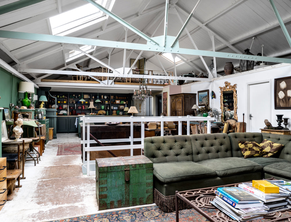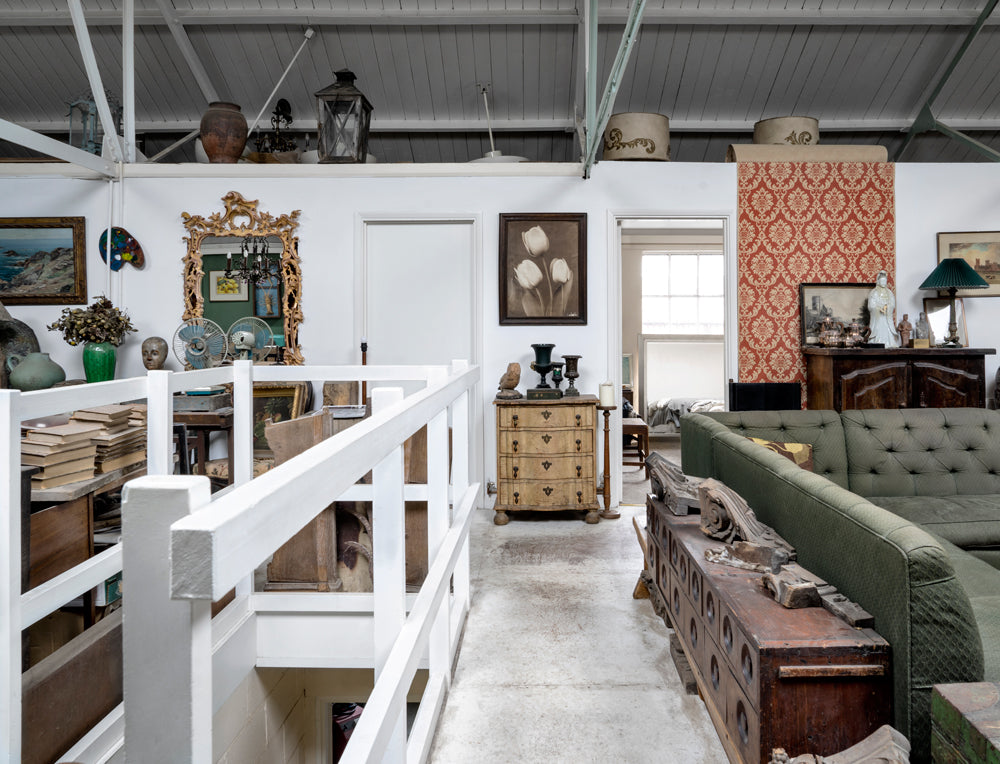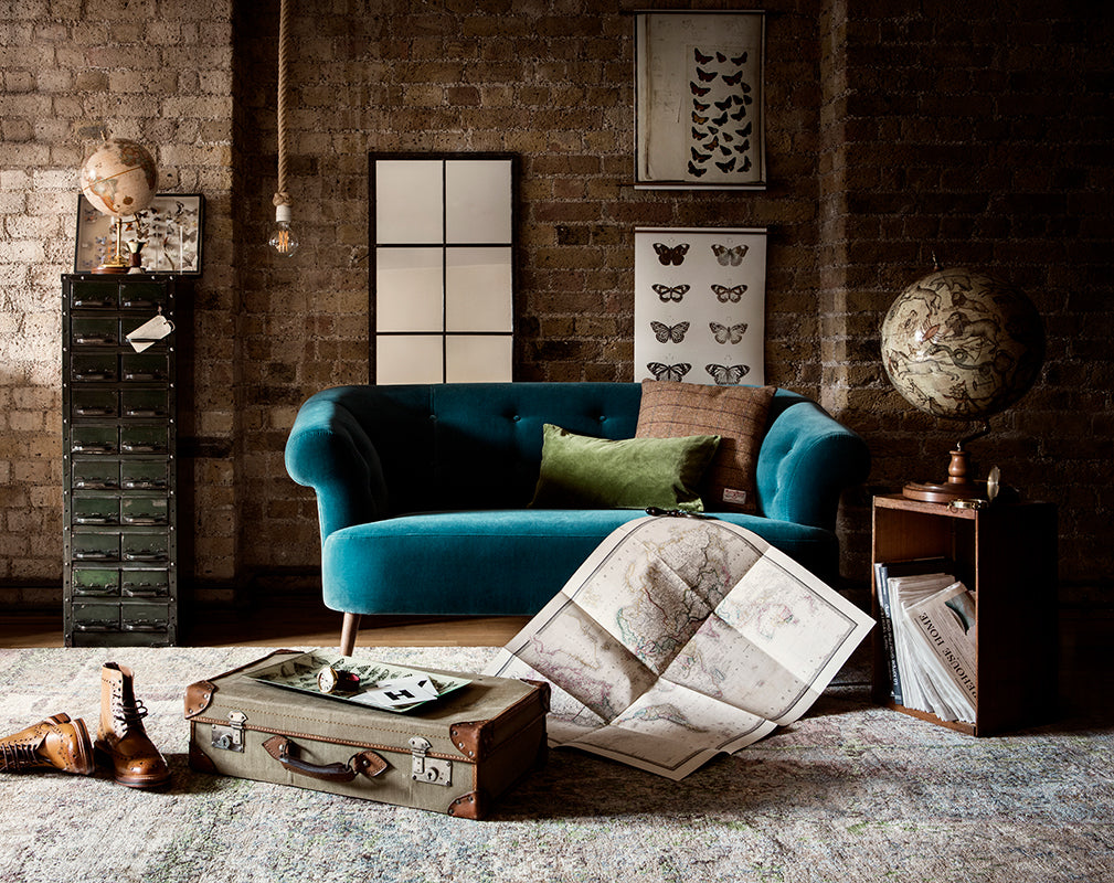
There is no question that vintage maps and charts are ideal for a heritage home. But they are also an imaginative way to decorate modern interiors, adding visual interest and colour to the wall. A single print will create a focal point in a room, but hanging two or three different maps in a group will make a striking gallery wall.
Ted’s Vintage Maps is family-owned and operated and hosts an extensive catalogue of over 300 digitally restored, historical maps. Based in South Dakota, and shipping internationally, the site includes charts and topographic prints of the largest American cities to the smallest of rural farming towns. Most maps date from the mid to late 1800s, Ted’s boasts a unique collection of charts, many of which they are among the first to restore or recolour. Navigating changes in landscape and industry over time, the Warehouse Home team have selected five of our favourite geographic prints, surveying the trend and sharing insight into life past and present.
A smart, yet striking addition to any interior, vintage maps and prints are well suited to industrial and heritage spaces alike. Visit Ted's Vintage Maps for the full collection.
This is a Warehouse Home promotion. We only collaborate with partners who represent the Warehouse Home aesthetic and are of expected genuine interest to our readers.
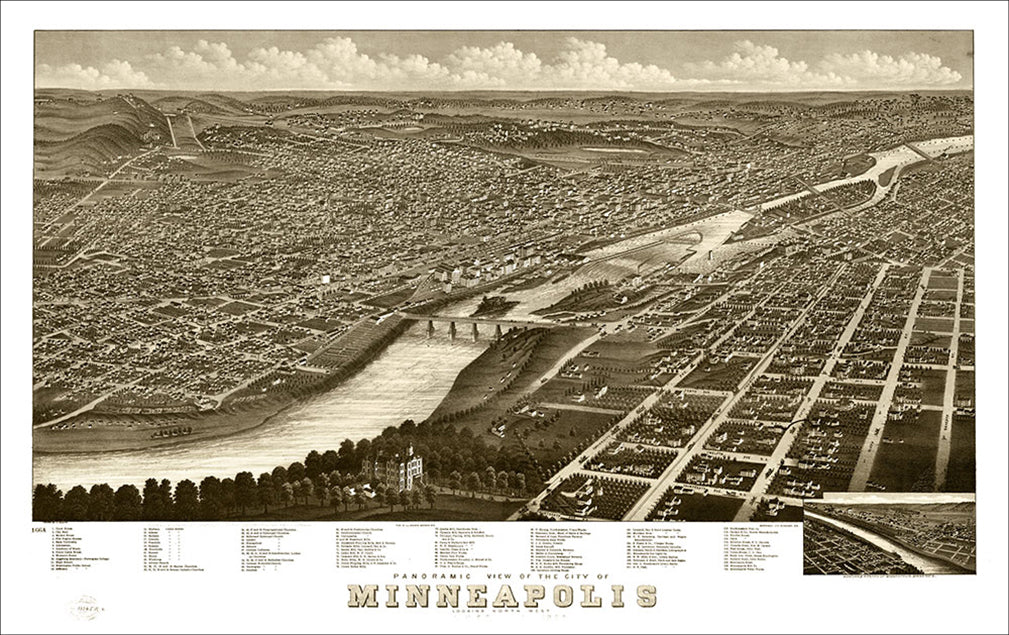
1. Minneapolis
Once declared the ‘flour milling capital of the world’, Minneapolis was known as ‘Mill City’. Its population grew up around the mills and multiplied steadily from 1870. As the milling industry fell into decline following WWI, and industry eventually moved out of Minneapolis, the retired mills fell into disuse. Narrowly escaping fire in 1991, the surviving ruins of The Washburn A Mill remain today and have been preserved as the Mill City Museum.
2. Boston
This panoramic print of Boston, Massachusetts, features the red brick facade of Beach & Clarridge Soda Water company. Its monolithic stature shadows Boston’s baseball grounds and the stencilled hoardings can be clearly viewed.

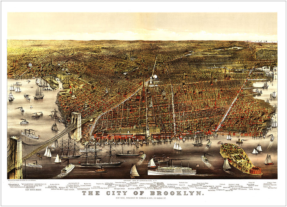
3. Brooklyn
Extending from Brooklyn Bridge, the area known today as DUMBO - Down Under Manhattan Bridge Overpass - was primarily a manufacturing district characterised by the warehouses, factories and industrial buildings that once made machinery, paper boxes and Brillo soap pads. It's an area that is now witnessing a huge regeneration with new life being breathed in to the old industrial buildings.
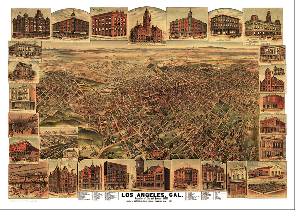
4. Los Angeles
Philadelphia Brew House Brewery was established in 1874. It survived Prohibition between 1920 and 1933 and today is known by a different name but still stands near Union Station and LA’s trendy Arts District. It is depicted on this beautiful chart, alongside other famous historic buildings of Los Angeles.
5. Chicago
Grand Central Station was designed by architect Solon Spencer Berman and built in 1890 as a passenger railroad terminal. Located in downtown Chicago, the building’s self supporting glass and steel train shed was, at the time, thought to be among the largest in the world and considered a marvel in engineering long after it was built.